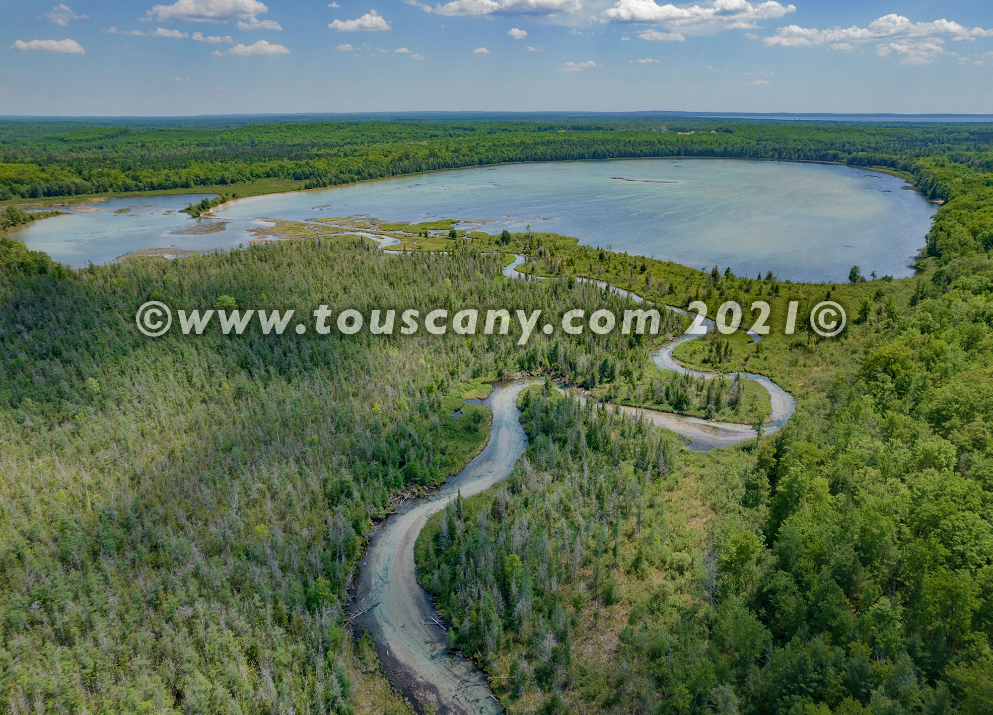
Treasure Island, Flag Point, Higgins Lake, MI from the Air
Marl Lake Too!
It’s always fun to be able to fly my drone in new places. I have been spending summers on Higgins Lake all my life. And my drone provides a new perspective of one of the prominent features of Higgins Lake. Higgins Lake is located in central Michigan about 100 miles due south of the Mackinac Bridge. This 9,900-acre lake is known for its deep, clear waters and is the 10th largest in Michigan with a shoreline of 21 miles. It is named after Sylvester Higgins, the first chief of the topographical department of the Michigan Geological Survey. The lake receives much of its water from submerged springs. There are two Michigan State Parks located on opposite ends of the lake. Sportfish include yellow perch, trout, pike, bass, pike, and more.
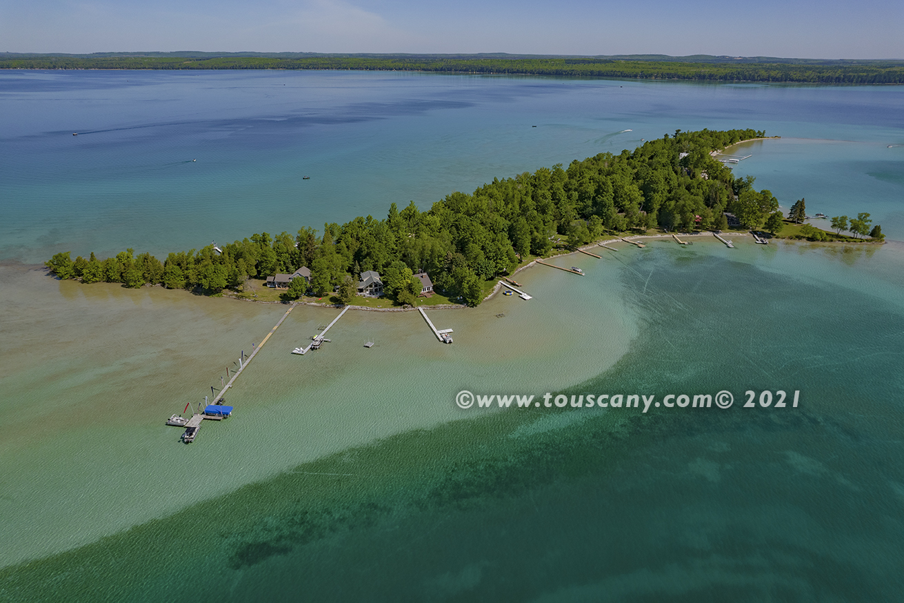
Pictured here is Treasure Island which is located on the ‘big’ lake. Also pictured are views of Flag Point and Marl Lake. Marl Lake receives water from Higgins Lake. Low water levels this year show many shallow spots around the island. Even though Higgins Lake is 135 ft. deep at its deepest.
#dronephotography #higginslake #roscommoncounty #aerialphotography #marllake #southhigginslakestatepark
Flag Point, Higgins Lake, Michigan
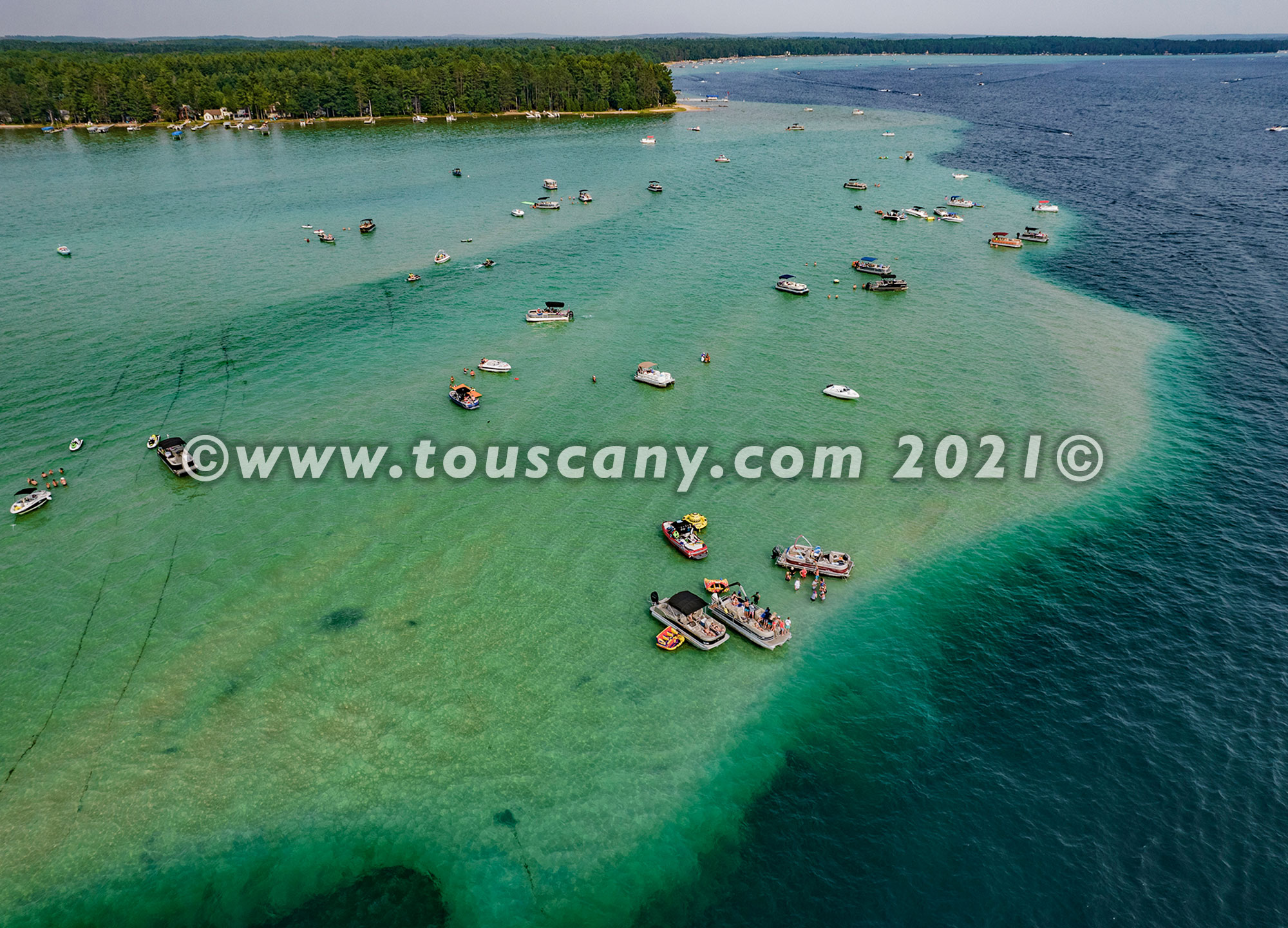
Treasure Island, Higgins Lake, Michigan
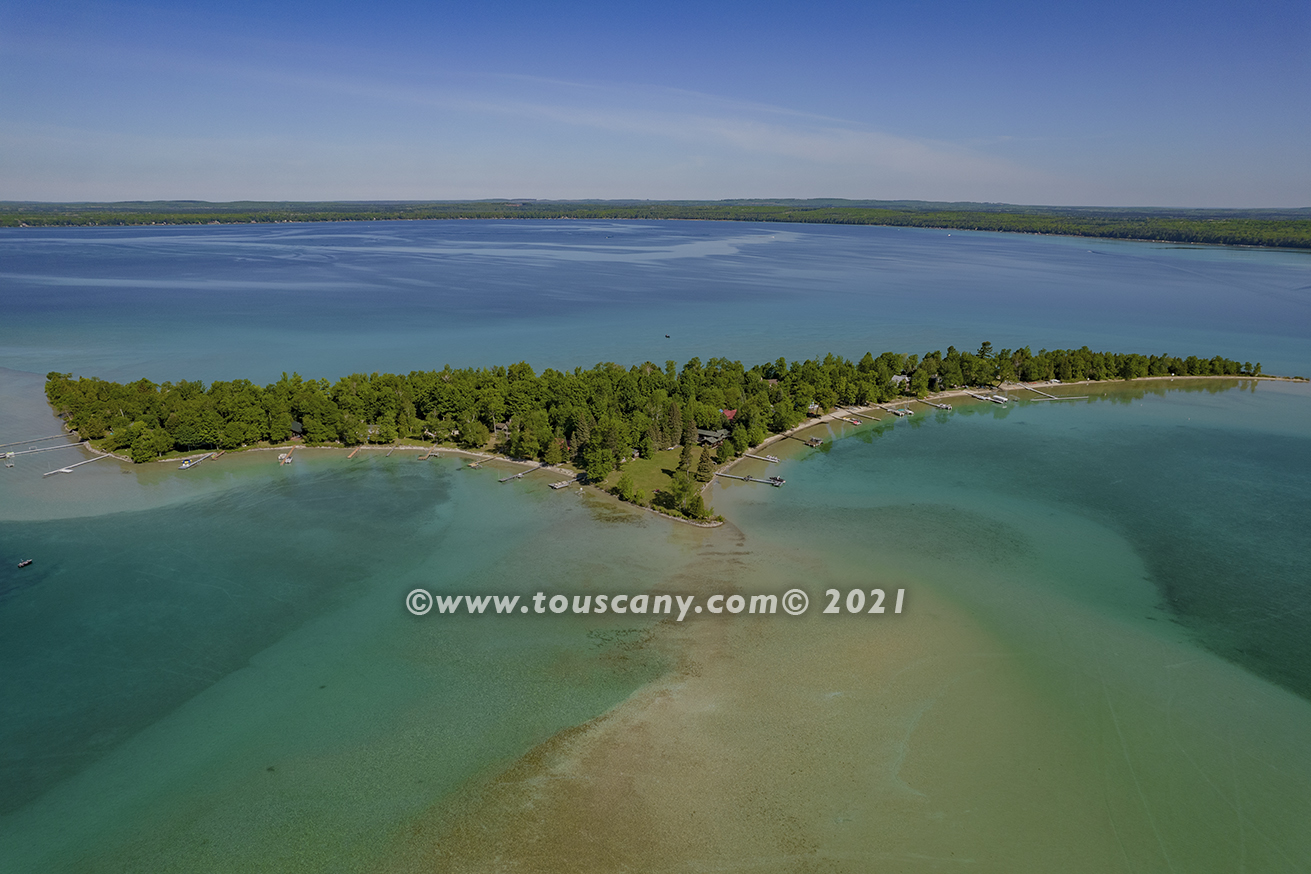
Treasure Island, Higgins Lake, Michigan
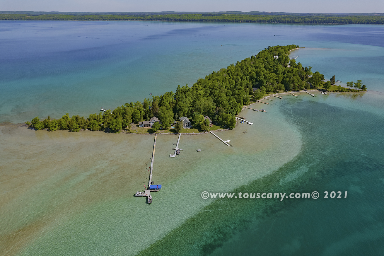
Flag Point, Higgins Lake, Michigan
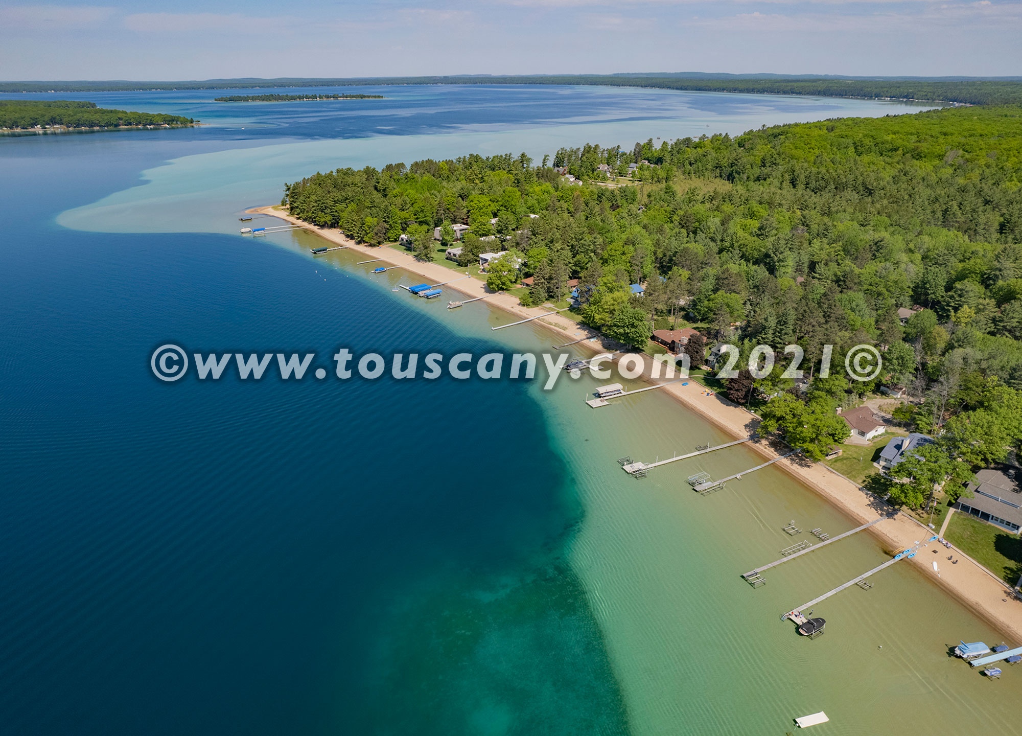
Treasure Island, Higgins Lake, Michigan
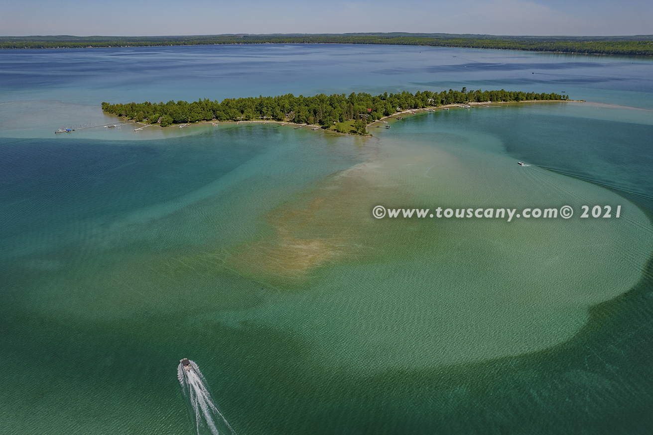
Treasure Island, Higgins Lake, Michigan
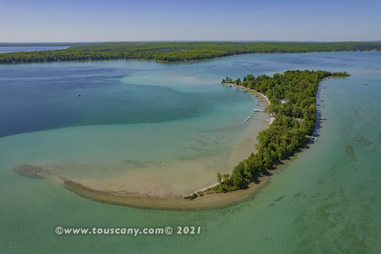
Treasure Island, Higgins Lake, Michigan
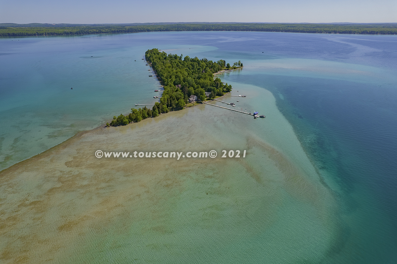
Treasure Island, Higgins Lake, Michigan
Marl Lake, South Higgins Lake State Park, Higgins Lake, Michigan
